 Ajana
Ajana  Eneabba
  Springwood
  Charlton
  Beulah
  Hopetoun
  Goondiwindi
  Dickson
  Tyenna
Government House on the map, Canberra, Australia
Photo

Where is located Government House
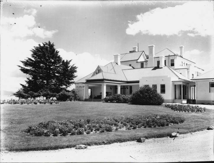
Government House — local attraction, which is located at Dunrossil Dr, Yarralumla ACT 2600, Australia and belongs to the category — historical landmark. Average visitor rating for this place — 4.7 (according to 208 ratings, information from open sources and relevant for 2022).
Exact location — Government House, marked on the map with a red marker.
You can get directions to Government House on the map from your location.
What else is interesting in Canberra? You can see all the sights if you go to the city page.
Coordinates
Government House, Australia coordinates in decimal format: latitude — -35.300978575774515, longitude — 149.10129693748385. When converted to degrees, minutes, seconds Government House has the following coordinates: -35°18′3.52 north latitude and 149°6′4.67 east longitude.
Nearby cities
The largest cities that are located nearby:
- Wollongong — 187 km
- Albury — 217 km
- Newcastle — 358 km
- Melbourne — 459 km
- Geelong — 522 km
- Launceston — 700 km
- Hobart — 853 km
- Brisbane — 944 km
- Adelaide — 955 km
- Dunedin
(New Zealand) — 2020 km
- Christchurch
(New Zealand) — 2093 km
- Wellington
(New Zealand) — 2232 km
- Lower Hutt
(New Zealand) — 2242 km
- Auckland
(New Zealand) — 2275 km
- Hamilton
(New Zealand) — 2302 km
- Tauranga
(New Zealand) — 2380 km
- Port Moresby
(Papua New Guinea) — 2865 km
- Rockingham — 3139 km
- Perth — 3143 km
